Access: On the Menu bar, click
Project > Select Output Coordinate System...
Important: The output coordinate system does not need to be the same as the image geolocation coordinate system or the GCPs coordinate system. By default, the output coordinate system is the same as the GCPs coordinate system if GCPs are used. Otherwise, it is the same as the image geolocation coordinate system. If the image geolocation coordinate system is WGS84, the output coordinate is the corresponding UTM zone by default.
If less than three images are geolocated, and less than 3 GCPs are defined, then the output coordinates system is set to "Arbitrary".
The Select Output Coordinate System pop-up allows the user to choose the coordinate system of the outputs.
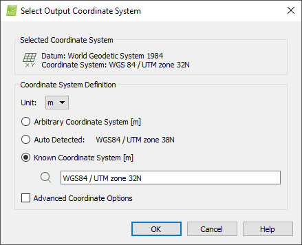
For a full description of the Select Output Coordinate System pop-up: Select Image / GCP / Output Coordinate System.