The status bar displays the coordinate reference system of the project, the display unit, and information about the current point position.
The status bar
The status bar is divided into 3 main parts:
- The coordinate reference system of the project (left)
- The display unit (center)
- The pointer position (right)
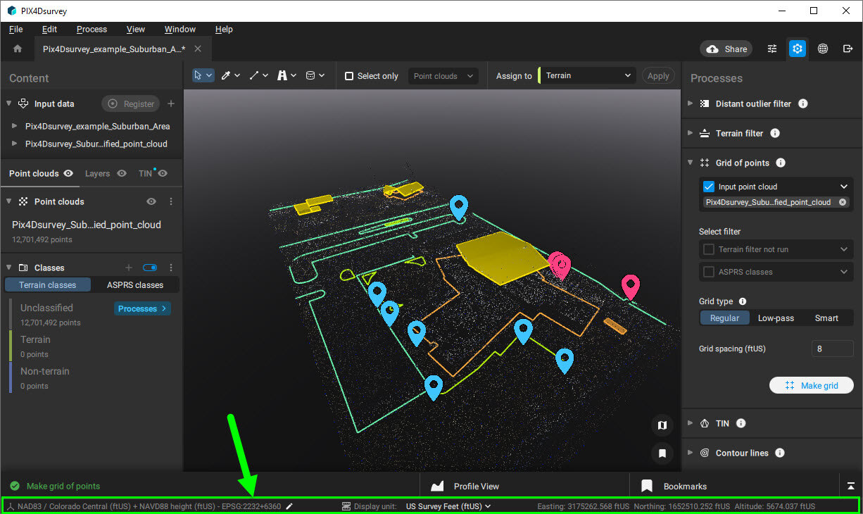
The project coordinate reference system is displayed in the bottom-left of the PIX4Dsurvey window. By clicking on the pencil icon  , it is possible to change the project coordinate reference system. More information on how to use the coordinate reference system in PIX4Dsurvey can be found here: How to use coordinate systems in PIX4Dsurvey.
![]()
The unit used to measure lengths, areas, and volumes can be changed. This allows switching between different units without the need to change the coordinate reference system, which supports the desired unit. The default display unit is the one defined in the coordinate reference system.
The available display units are the following:
- Meters (m)
- Feet (ft)
- US Survey Feet (ftUS)
A change in the display unit affects all lengths, areas, and volume measurements as well as all the places in the user interface where length, area, and volume are mentioned.
![]()
The pointer position provides the live location of the pointer. This view is only available when the pointer is hovering in the 3D view of the project. The units of the pointer position are not affected by the display unit.
![]()