|
|
|
|
|
|


Depth & dense fusion
The Depth & dense fusion option combines the point cloud generated from images with the one generated from LiDAR depth maps.
アクセス:
- 画面右上の 処理オプション
 .
. - On the Menu bar, click Process > Depth & dense fusion...
Important: Available only with PIX4Dcatch projects that contain LiDAR depth maps.
This feature combines the photogrammetry and LiDAR point cloud and makes the final point cloud denser and more complete.
The following parameter can be set:
- Distance: The minimum distance [units] from a depth point to the dense point cloud for fusing it. The values depend on selected units:
- 0 - 0.500 m, default 0.025 m, or
- 0 - 1.640 ft / ftUS, default 0.082 ft / ftUS.
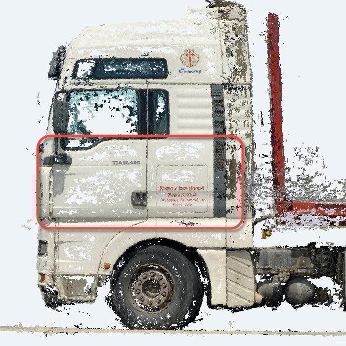
Example: Reflective areas are challenging to reconstruct and the dense point cloud generated from images is likely to have holes. In those cases, the point cloud generated from depth maps can be used to fill the holes.