Menu Process > Generate DTM - PIX4Dmapper
This article explains the steps to generate a digital terrain model (DTM).
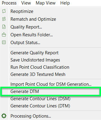
Access: On the Menu bar, click Process > Generate DTM (enabled once the Raster DSM is generated and the tiles of the Raster DSM are merged).

This process takes as input the merged Raster DSM (Digital Surface Model), computes a classification mask, and generates the Raster DTM (Digital Terrain Model).


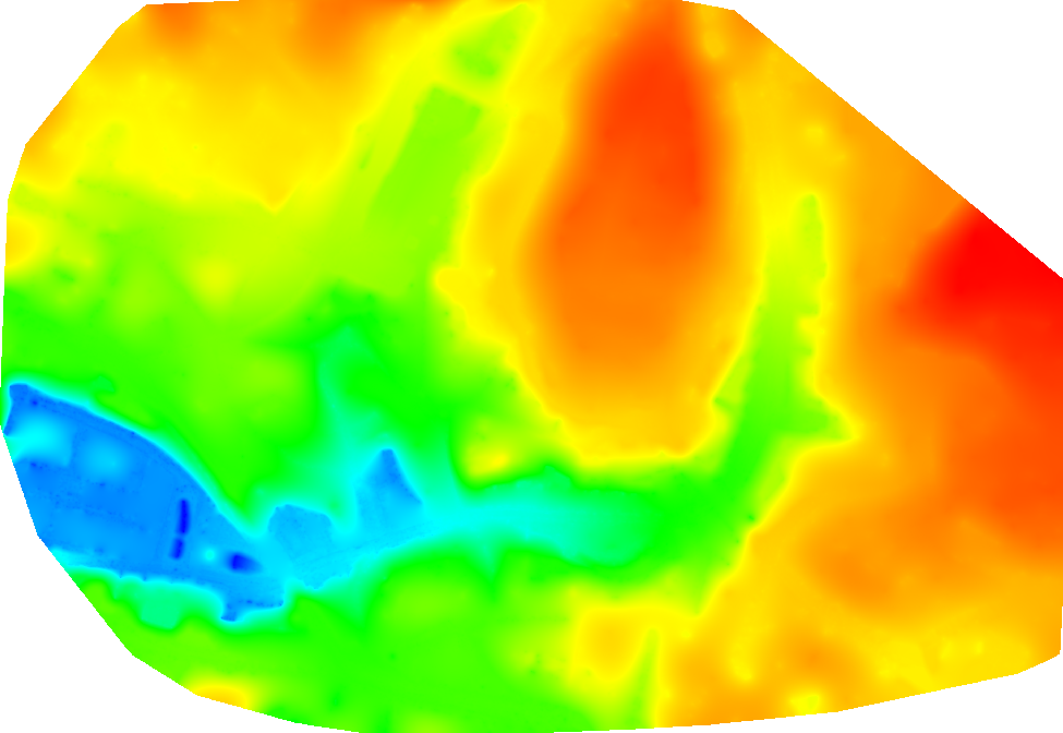
DTM of the center of the city of Lausanne
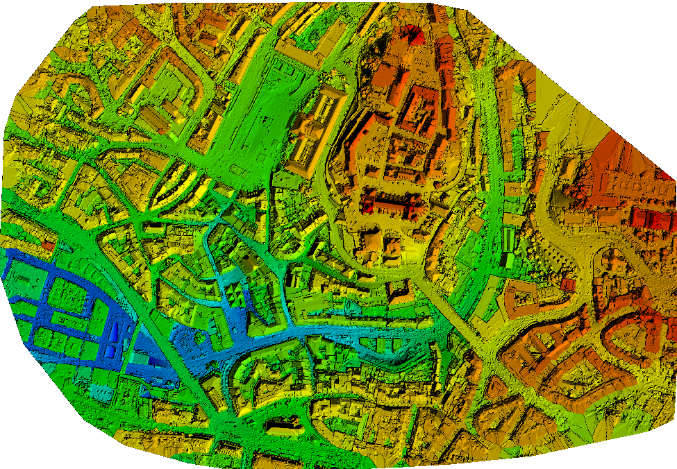
DSM of the center of the city of Lausanne
Tip: PIX4Dmapper cannot generate an elevation profile. However, once the DTM is exported, it is possible to create an elevation/terrain elevation profile in most third-party GIS applications.
