Important: In order to draw a new object in the rayCloud, at least step
1. Initial Processing has to be completed.
In order to create a new Polyline in the rayCloud:
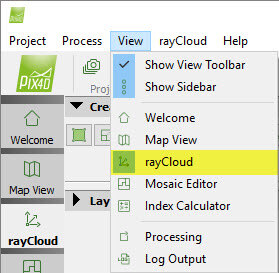
1. On the Menu bar, click View > rayCloud.
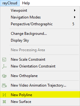
2. On the Menu bar, click rayCloud > New Polyline.
3. On the 3D View, a green point appears beside the mouse. Left click to mark the vertices of the polyline. At each click a vertex is created and the polyline is formed.
Note:
- For each vertex a Manual Tie Point is created.
- When drawing the polyline, a vertex used by other objects can be reused for the new polyline by clicking on it while drawing the polyline.
4. Right click to add the last vertex and create the polyline.
Note: When the polyline is created, next to the measurements "error n/a
 " appears indicating that the measurement accuracy cannot be calculated till all the vertices of the polyline are marked on at least 2 images. For step by step instructions:
How to edit Objects in the rayCloud.
" appears indicating that the measurement accuracy cannot be calculated till all the vertices of the polyline are marked on at least 2 images. For step by step instructions:
How to edit Objects in the rayCloud.
" appears indicating that the measurement accuracy cannot be calculated till all the vertices of the polyline are marked on at least 2 images. For step by step instructions:
How to edit Objects in the rayCloud.
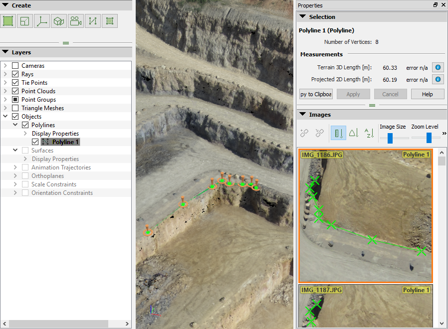
5. (optional) To complete the drawing adding higher accuracy to the polyline, on the 3D View, select the polyline and correct the position of the vertices: How to edit Objects in the rayCloud.
Note: A Manual Tie Point is associated to each vertex of the polyline. Each vertex that is marked on a least two images is taken into account in
1. Initial Processing if it is processed again or if the reconstruction is reoptimized.