Access: On the Menu bar, click View > Map View.
IN THIS ARTICLE
By selecting the Map View, the following elements are displayed on the main window:
- Menu bar entry: Displayed on the Menu bar.
- Toolbar: The standard toolbar and some extra buttons related to the Map View.
- 2D view: Displayed in the main window. By default the Satellite view is displayed.
- Status bar: Displayed at the bottom right of the Map View. Displays the coordinates when passing the mouse over the 2D View.
Menu bar entry
On the Menu bar, when clicking Map View, the following option is displayed:
- Processing Area: Indicates the project area for which the different outputs will be generated.
Toolbar
The following toolbar buttons are displayed:
- Standard toolbar buttons: For more information: Interface.
- Toolbar extra buttons:
Toolbar extra buttons
- View
 Zoom In: Zooms in the selected view.
 Zoom Out: Zooms out the selected view.
- Change Background Map (basemap): A drop-down list that changes the 2D View background displayed on the main window. It has the following options:
- Satellite (default): Displays a satellite view of the project's location. If none of the images is geolocated and there are no GCPs in the project, the whole Earth is displayed.
- Maps: Displays a map view of the project's location. If none of the images is geolocated and there are no GCPs in the project, the whole Earth is displayed. The background map is provided by MapTiler.
Note: If you are using PIX4Dmapper 4.9.0 or lower, the basemap and satellite background imagery will not be displayed. You can learn more about the problem and suggested solution here: Basemap display issue.
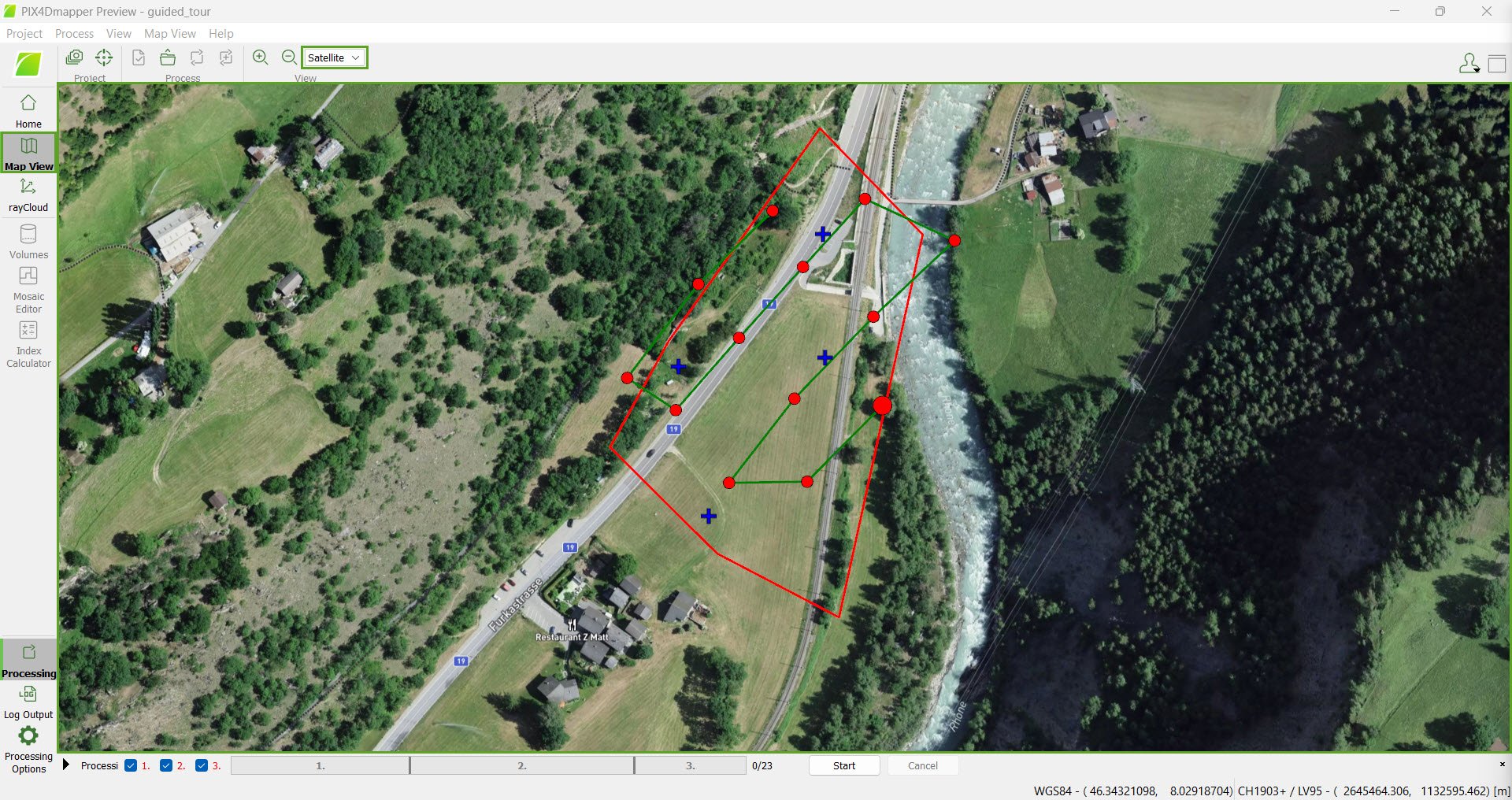
2D view
Section which displays the location of the project on Earth and the project elements (images, GCPs, etc.). For more information: Menu View > Map View > 2D View.
Status bar
The coordinates of the current mouse position on the 2D View are displayed at the bottom right of the Map View. Two types of coordinates are displayed:

- Geographical WDS84 coordinates: Latitude and longitude coordinates are displayed.
- Selected coordinate system: The X and Y coordinates of the selected output coordinate system (Select Image / GCP / Output Coordinate System ) are displayed .