PIX4Dsurvey can import external point cloud independently by the source, assuming these files are using a compatible file format (Inputs - PIX4Dsurvey).
In a new project
When importing a point cloud in a non-existing project, a new project will be created. For more information see New project section.
In an existing project
When importing point clouds in an existing PIX4Dsurvey project:
- Drag and drop the input file on the screen.
- (Optional) If the coordinate system of the file is unknown or is different from the project's coordinate system:
- If you want to ignore the CRS definition of the imported point cloud, select the checkbox Use Project CRS and then click Apply to import the file. The CRS definition of the imported point cloud will be ignored. Values will be treated as being defined in the project CRS.
- If you want to take into account the CRS definition of the imported point cloud and transform it to the project CRS, do not select the checkbox Use Project CRS, select the CRS of the imported point cloud, and then click on Apply to import the file. The imported point cloud will be transformed into the project CRS.
- Click Cancel to interrupt the import.
Or
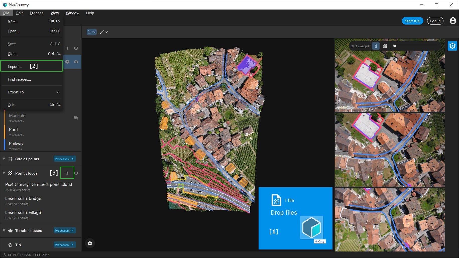
- Click File on the menu bar.
- Click Import...
- Locate and specify the File name of the file.
- Click Open.
- (Optional) If the coordinate system of the file is unknown or is different from the project's coordinate system:
- If you want to ignore the CRS definition of the imported point cloud, select the checkbox Use Project CRS and then click Apply to import the file. The CRS definition of the imported point cloud will be ignored. Values will be treated as being defined in the project CRS.
- If you want to take into account the CRS definition of the imported point cloud and transform it to the project CRS, do not select the checkbox Use Project CRS, select the CRS of the imported point cloud, and then click on Apply to import the file. The imported point cloud will be transformed into the project CRS.
- Click Cancel to interrupt the import.
Information: When importing projects from PIX4Dmatic or PIX4Dmapper into PIX4Dsurvey, the associated images will also be included. However, images will not be imported into the PIX4Dsurvey project for point clouds imported from other sources.
Information: When importing external point clouds, such as LiDAR, the coordinate system needs to be:
- Written directly in the .las or .laz file.
- When importing multiple projects or files, all coordinate systems must match.